

The Best Fire and Gas Mapping Software. Period.
Efficient | Accurate | Validated
Detect3D® Fire and Gas Mapping Software
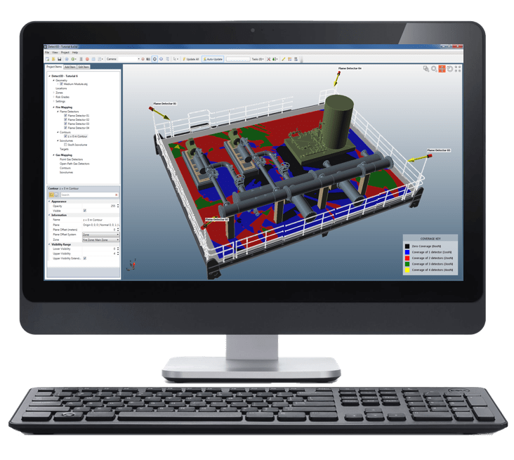
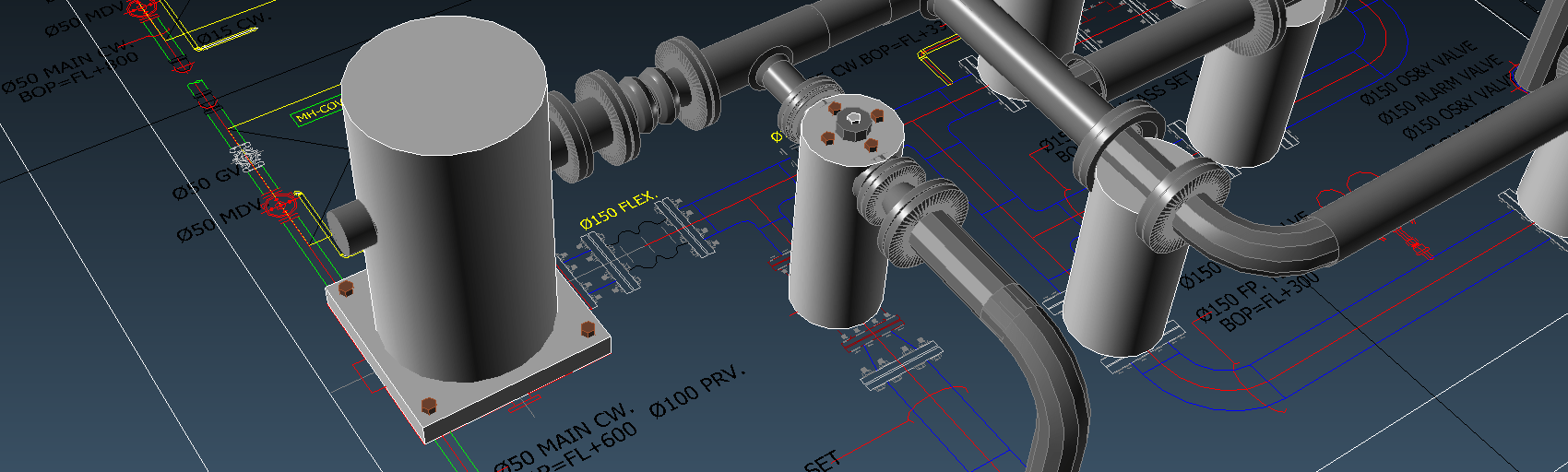
Detect3D® gives your organization the ability to perform fire and gas mapping projects in-house. Developed by Insight Numerics, Detect3D® is designed using the most advanced algorithms focusing on reducing time and saving costs all while working directly with your CAD files.
- Seamless integration with CAD files (DGN, DWG, OBJ and more…), even Navisworks
- Reduce project duration by up to 70% of the time typically required by other solutions.
- Better manage costs through the project life cycle through our licensing structure, which allows for unlimited design changes.
- Share design updates between project teams at no additional costs using the free “Viewing Mode.”
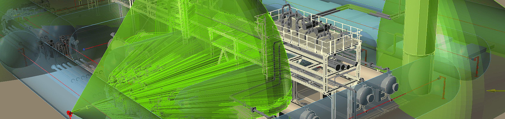
- Make use of Detect3D®’s optimization capability to determine the optimal positions of devices to reduce detector count while maximizing coverage.
What’s New With Detect3D®?
Version 3 — a major update to the interface, visualization and project security
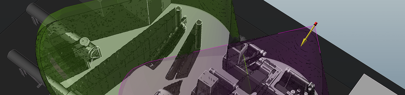
- A rebuilt 3D window with higher frame rates, better lighting, ambient occlusion, accurate transparency, shadows and silhouettes
- Multi-select in the project tree and an updated property grid, for faster work on large detector layouts
- Project validation certificates — issue your client independent confirmation that a study was completed with a licensed copy of Detect3D®
- Coverage results are unchanged from Version 2.80, so existing projects need no re-validation