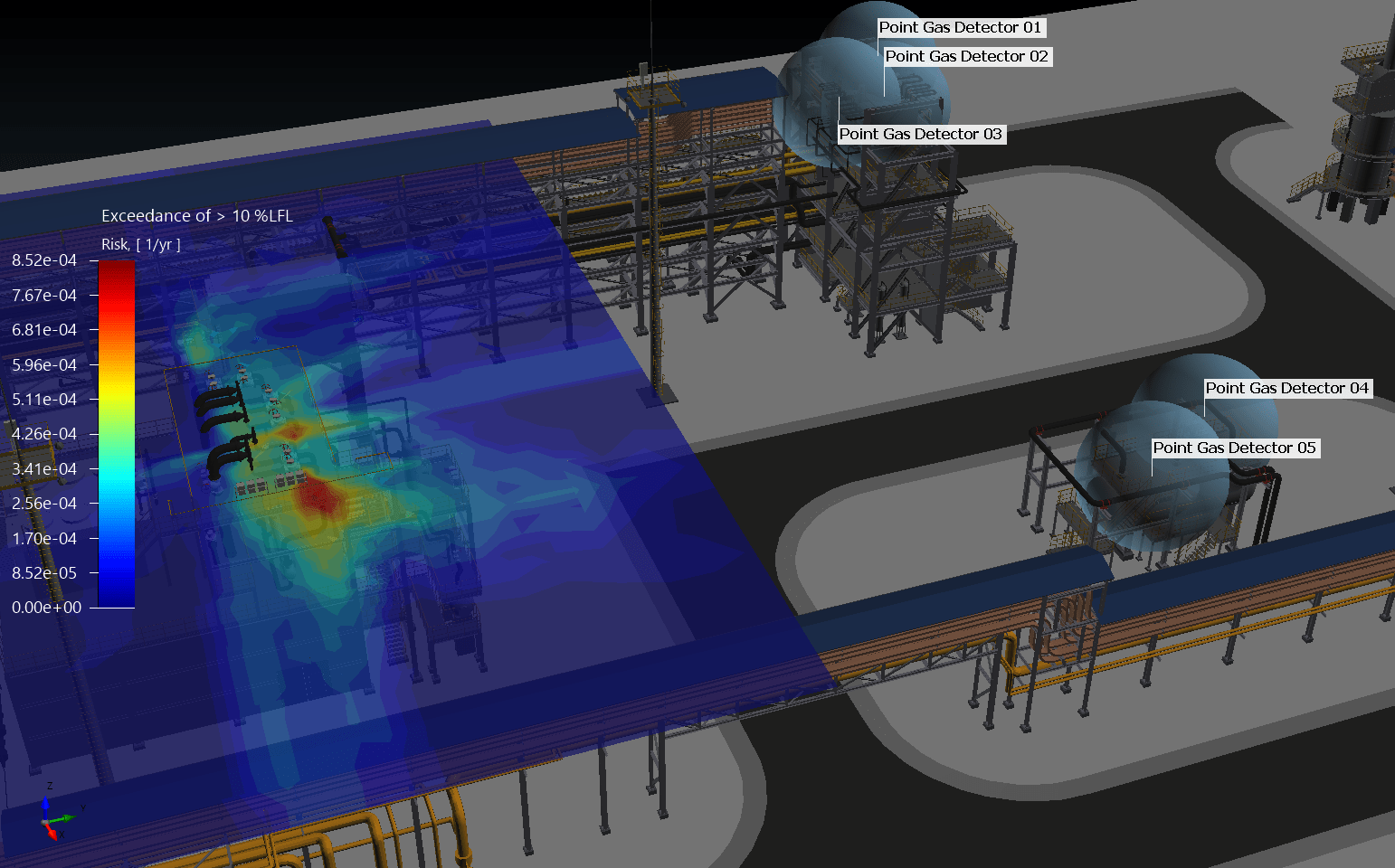
The “Concept of Proportionality”, as defined in the new British Standard on Fire and Gas Mapping, states that, when undertaking a F&G mapping study, the level of effort should be proportional to the risk. In a practical sense, this translates into using low-effort methods such as geographic mapping on low-risk areas, and high-effort methods such as risk-based mapping on high-risk areas.
Sounds sensible…but does it make sense?
Experience gained from the risk-based gas mapping projects completed to-date confirm that geographic mapping recommends 2 to 3 times as many detectors than required, especially for onshore projects.
Therefore, using both mapping methods on the same site will result in low-risk areas having more detectors than high-risk areas.
This is an intuitively incorrect result which highlights the fact that risk-based and geographic methods are not different points on a continuum, but are fundamentally different methods that give very different results. The transition from geographic to risk-based is abrupt, not smooth.
In a sense, the reduction in effort of the engineer performing a geographic F&G mapping analysis has instead simply been replaced (and amplified) by the effort associated with the procurement, installation and maintenance of an unnecessary number of gas detectors.
It is more important to maintain a consistent, site-wide approach to gas mapping than to try to optimize the level of effort required to perform the F&G mapping analysis.
We should apply the “Concept of Proportionality” but only when a consistent methodology has been established.

Find us