Mixing Geographic and Risk-Based Gas Mapping – Does it Work?
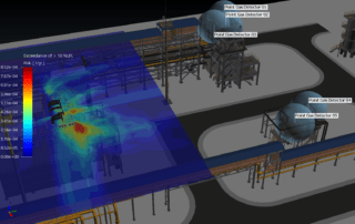
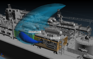
The “Concept of Proportionality”, as defined in the new British Standard on Fire and Gas Mapping, states that, when undertaking a F&G mapping study, the level of effort should be proportional to the risk. In a practical sense, this translates into using low-effort methods such as geographic mapping on low-risk areas, and high-effort methods such as risk-based mapping on high-risk areas.
Sounds sensible…but does it make sense?
Experience gained from the risk-based […]


Find us