10 years ago – almost to the day – I was asked to perform a Fire and Gas Mapping project. At the time, I was a CFD consultant, and familiar with numerical methods and 3D modeling techniques, but I knew next to nothing about flame and gas detectors. I researched the available options that I could use on my project, fully expecting to find technologically advanced software and services.
What I found for the current Fire and Gas Mapping services was shocking.
I saw 2D plot plans overlaid with unintelligible colorations. It seemed like Fire and Gas Mapping technology was a throwback to the 1990’s. I could not believe that in 2010, this type of analysis was being done, and that companies were paying for it.
I reported back that there were no good options for carrying out Fire and Gas Mapping projects…and went to work creating one.
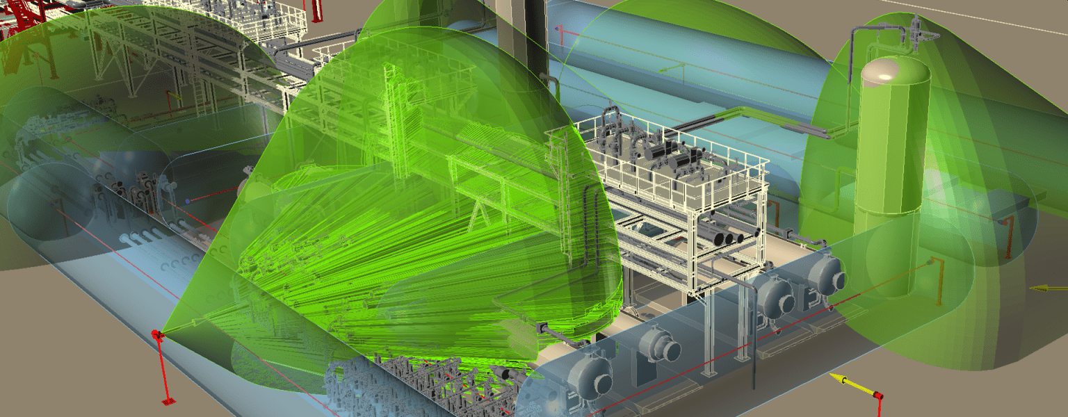
Detect3D was born out a desire to improve the technology for Fire and Gas Mapping, by creating software that was of the current era. That meant 3D CAD, 3D calculation techniques, useful and intuitive visualizations, and an openness about methodology and validation.
Of course, I am very pleased with Detect3D. Today, we have hundreds of users on many projects, and it has been adopted as the leading Fire and Gas Mapping software product by the world’s largest Energy Companies. But it has also prompted our competitors to improve, and expectations of what a Fire and Gas Mapping project should be like are now much higher than they were in 2010.
If we can say that our main achievement with Detect3D is to modernize Fire and Gas Mapping, then it is something that we can be truly proud of here at Insight Numerics.
Find us