• Mixing Risk Based Gas Mapping and Geographic Gas Mapping Image

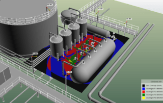
Mixing Geographic and Risk-Based Gas Mapping – Does it Work?

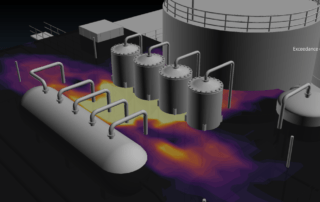
The “Concept of Proportionality”, as defined in the new British Standard on Fire and Gas Mapping, states that, when undertaking a F&G mapping study, the level of effort should be proportional to the risk. In a practical sense, this translates into using low-effort methods such as geographic mapping on low-risk areas, and high-effort methods such as risk-based mapping on high-risk areas.

Sounds sensible…but does it make sense?

Experience gained from the risk-based […]
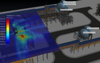
  • inFlux Gas Detection and Leak Location

Correlating Gas Detection and Leak Location

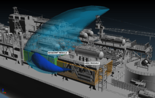
A common assumption implicit in gas detection systems is that a gas cloud is detected in roughly the same location of the leak source. Indeed, many F&G philosophies require a leak to be detected in the same module.

It is clear why this is advantageous – knowledge of the leak location is critical for response planning and automated control actions.

But how accurate is this assumption?

Perhaps less than you think. Consider the […]

  • Gaussian Plume model vs CFD

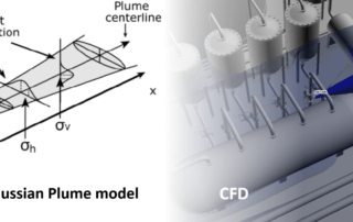
Can Gaussian Plume Models be used for Risk-Based Gas Mapping?

One of my favorite books is “I do like CFD” by Katate Masatuka. Alongside the technical discussion of various CFD methods, he writes why he likes the method (or doesn’t).

Well, “I do like Gaussian Plume models” – they were the first type of fluid models that I programmed myself. It was fun to investigate things such as the stability of the Atmospheric Boundary Layer, and discover how that could […]

  • Why we developed inFlux CFD Software

Why we wrote in:Flux

The first time we exhibited in:Flux was at the Hazards 26 conference in Edinburgh, 2016. Our exhibit booth included a monitor showing the alpha version…barely working at the time, but the ideas were there.

“Aren’t you reinventing the wheel?” asked one of the attendees.

“Yes” I replied.

I considered the CFD software that was being in the safety industry as a wheel that needed reinventing.

As a CFD consultant in the years prior to […]

  • Fire and Gas Mapping in 2021

Fire and Gas Mapping in 2021: What to Expect

Fire and Gas Mapping is a rapidly developing field, and 2021 will be no different.

In 2020, we saw a significant increase in the number of Risk-Based Gas Mapping projects using in:Flux. It was pleasing to see CFD technology deployed on more and more projects, resulting in detector layouts designed using advanced scientific methods and lowering costs by reducing detector count. This trajectory will continue in 2021.

We will continue to develop […]

  • Public Risk Data Set for Risk-Based Gas Mapping

A Public Data Set for Risk-Based Gas Mapping

Technology is changing fast in the world of Fire and Gas Mapping. Risk-Based methods for Gas Mapping offer a future of improved technology at lower cost, but as engineers we must apply a detailed, rigorous analysis before reaping the benefits.

The good news is that much of this analysis has already been done. CFD modeling – the engine of Risk-Based Gas Mapping – has been well validated in academia, wind tunnels, […]

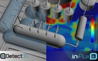
  • Detect3D vs inFlux Gas Detection

Geographic or Risk-Based Mapping?

I have been writing recently about the benefits of Risk-Based Gas Mapping, but of course the Geographic approach has its advantages too: the analysis is cheaper, quicker, well-supported in industry, and has an appropriate level of detail for small or low-risk projects. Choosing the right method for your project can be challenging, especially as in:Flux has made risk-based methods more cost-effective.

Here are some broad-brush guidelines from my own experience with […]

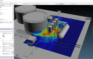
  • Risk-Based Gas Clouds

Why Risk-Based Gas Mapping Reduces Detector Count

The reason risk-based gas mapping reduces detector count is stunningly simple.

Consider the following analysis, which compares geographic and risk-based methods. For the purposes of the demonstration, we will start with a 5 meter diameter gas cloud, at 100% LFL – a common size of cloud used for mapping purposes.

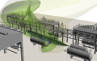
The images below show the 5 meter spherical gas cloud used in geographic mapping (left, from Detect3D), and a 100% LFL gas […]

  • Future fo Fire and Gas Mapping - Risk Based

The Future of Fire and Gas Mapping is Risk-Based

There isn’t much doubt that the major technology change we will see over the next 10 years is Risk-Based Gas Mapping. The method has been around for a while (see ISA TR84.00.07 for example), but the proper commercial application using Computational Fluid Dynamics (CFD) has only been available for a couple of years.

Developing this capability at Insight Numerics has been an enormous challenge, but with several projects now complete we […]

  • Current State of Fire and Gas Mapping

The Current State of Fire and Gas Mapping

I have done many marketing presentations since starting Insight Numerics, but one sticks out in my mind.

It was 2014, one year after we had released Detect3D. I turned up at the company’s office, set up in the conference room, and welcomed the 10 or 15 attendees – a decent crowd. I opened up my laptop, ready to launch into the demo and show all the bells and whistles. But before […]

Load More Posts